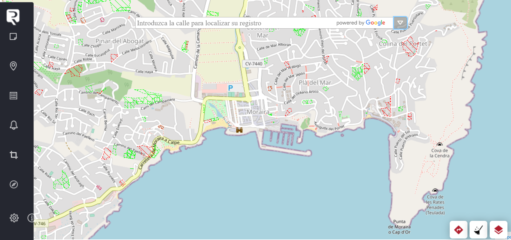
The Association of Land Registrars makes the Geoportal available to the public to consult public information on real estate in Spain.
Easy and intuitive, the Geoportal offers new tools and very practical functions.
It is currently only available in Spanish, although the English version is currently under development.
PURPOSE
The purpose of the Geoportal is to comply with the modification of the Mortgage Law made by Law 13/2015, aimed at regulating a system of graphic alerts derived from immatriculation procedures, physical modifications of registered properties, boundary delimitations or administrative land reorganisation proceedings.
CHARACTERISTICS
FREE ACCESS. The Geoportal makes available to technicians, professionals and citizens, a series of tools, freely accessible, which will be useful in relation to the Land Registry.
PUBLIC. Authentication of the person using it is not required except in cases where registry publicity is requested.
ACCESS
The Geoportal can be accessed from a mobile phone, computer or tablet via the following address:
https://geoportal.registradores.org/
FUNCTIONALITIES
It allows you to request registry publicity (simple note, registry certification...) in a much more intuitive way, as you can locate the property for which you wish to request information in a geographic viewer.
This is achieved by identifying the UTM geo-referencing coordinates of the vertices of the properties, by providing a GML file or the geo-referencing coordinates themselves.
It offers technical tools to operate with these coordinates and check the graphical representation that they determine against various cartographies (mainly the cadastral and registry of graphical representations proposed or already registered).
It makes it possible to download GML files with cadastral cartography of plots or buildings, or with registry cartography of properties whose graphic representation is already registered. Technical tools are also available to the public for the creation and editing of their own geometries.
SUSTAINABILITY
In addition, the user will have at his disposal a functionality that allows to contrast and associate the cartographic affections derived from the public domain with the registry information on ownership and charges, environment and town planning and to obtain a report, in PDF format, which reflects the result of the reflecting the result of the geometric or special analysis of the special analysis against said cartographies.